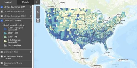
The CDC SVI has been acknowledged to be limited in capturing accurate representations of small-area populations that experience rapid change between censuses (e.g. New Orleans in the years following Hurricane Katrina).
The Index is also limited, like other mapping tools, by the lack of homogeneity within any census tract or county/parish. There may very well be more vulnerable communities and individuals living in overall less vulnerable areas. Homeless populations may also specifically not be represented within studies that rely on geocoding by residential address. Length of residence within a geographic area may also impact results.
The index is also limited by calculations that account for where people live, but not necessarily where they work or play. The lives of individuals are not necessarily restricted to the boundaries of a census tract or county/parish.
Lastly, vulnerability is only one component of several components that are important for public health officials and policymakers to consider—the hazard itself, the vulnerability of physical infrastructure, and community assets and resources are other elements that must be taken into account for reducing the effects of a hazard.
This data resource has also been critiqued by Bakkensen et al. for not having been explicitly tested and empirically validated to demonstrate that the index performs well (a problem they identify as characterizing multiple indices).
Bakkensen, Laura A., Cate Fox-Lent, Laura K. Read, and Igor Linkov. 2017. “Validating Resilience and Vulnerability Indices in the Context of Natural Disasters.” Risk Analysis 37 (5): 982–1004. https://doi.org/10.1111/risa.12677.


